EDR® Historical Topographic Maps
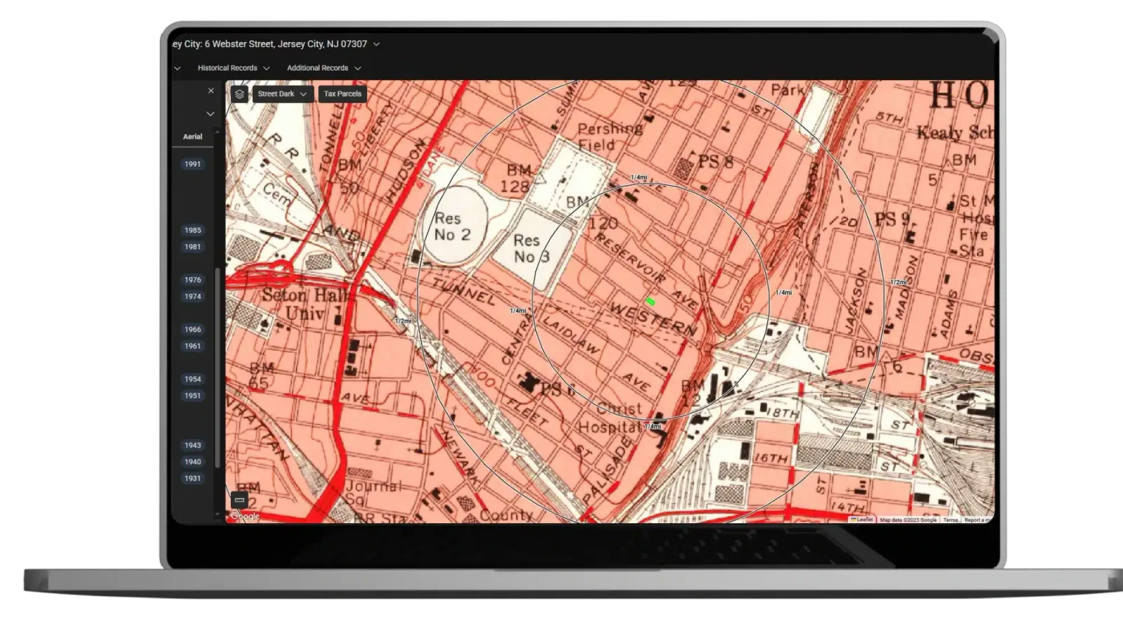
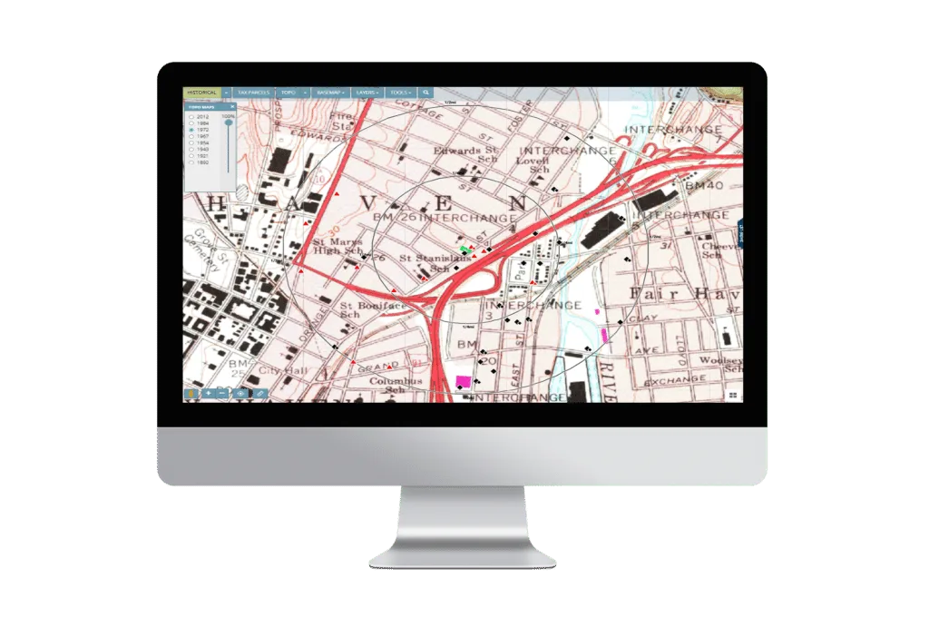
Advanced mapping solutions for faster, easier evaluation. Historical topographic maps with QUADMATCH® aid environmental professionals in reviewing potential liability resulting from past activities. QUADMATCH intelligently presents USGS historical topographic quad maps dating back to the early 1900s.
Key Benefits
Center your target property
Align adjoining georeferenced maps to easily review the right information every time.
Identify potential concerns
Reference 6,500 proprietary maps for detailed environmental issues.
Track changes over time
Enjoy the benefits of unified map scales and quickly compare current views against historical perspectives.
QUADMATCH®
QUADMATCH intelligently presents USGS historical topographic quad maps dating back to the early 1900s.
LightBox EDR’s historic topographic map collection
Historical topographic maps with QUADMATCH®
- Dates back to the early 1900s
- Your target property is centered and adjoining georeferenced maps are aligned, so you can easily review the right information every time.
- Maps scales are unified, so you can effortlessly follow changes over time.
- Enables your detailed review of map features with high resolution imagery.
- Most reports delivered as one PDF
- Topographic maps also provided in LightBox Live
- Identify potential environmental concerns
- 6,500 proprietary maps
Contact Us
Loading form
More in Environmental Due Diligence Solutions
- LightBox Live
- EDR
- EDR Historical Aerial Photos
- EDR International Projects
- EDR NEPASearch Map Report
- EDR On Demand
- EDR PARCEL Platform
- EDR Radius Map with GEOCHECK
- EDR Area Corridor Report
- LightBox City Directory Report
- EDR Environmental Data Packages
- EDR Environmental Lien and AUL Search Reports
- EDR Environmental Risk Screen
- EDR Historical Topographic Maps
- SANBORN MAP Report
Faster decisions. Fewer surprises.
Clarity you can stand on.LightBox is the Decision Foundation for the Built World.