Federal Government: Decisions Empowered by Location-Based Intelligence
LightBox uses location-based intelligence to gather data useful for infrastructure planning, disaster mitigation plans, environmental impact, and more. Utilize our authoritative data so you can avoid operational inconsistencies and make the best choices.
Why Choose LightBox for Federal Government Solutions?
Comprehensive and Accurate Geospatial Data
LightBox offers federal agencies access to comprehensive geospatial, environmental, and property data to support a wide range of government projects, from infrastructure to environmental protection.
Flexible Data Access Across Federal Agencies
Federal agencies can leverage LightBox’s data through GIS integration for real-time mapping or access large datasets in bulk for high-volume analysis, depending on project requirements.
End-to-End Solutions for Large-Scale Projects
LightBox provides solutions that address every stage of federal projects—from site selection and environmental due diligence, disaster response, to infrastructure development. Our platform helps federal agencies plan and manage projects with confidence.
Nationwide Key Datasets from One Source
LightBox delivers a consolidated source of key datasets—geospatial, environmental, zoning, and property information—allowing federal agencies to access all critical data from one trusted platform, improving decision-making and project outcomes.
Features and Benefits
Top-Tier Geospatial, Environmental and Zoning Data
LightBox ensures federal agencies have access to accurate, reliable data that informs decision-making for infrastructure, land management, and environmental initiatives at the federal level.
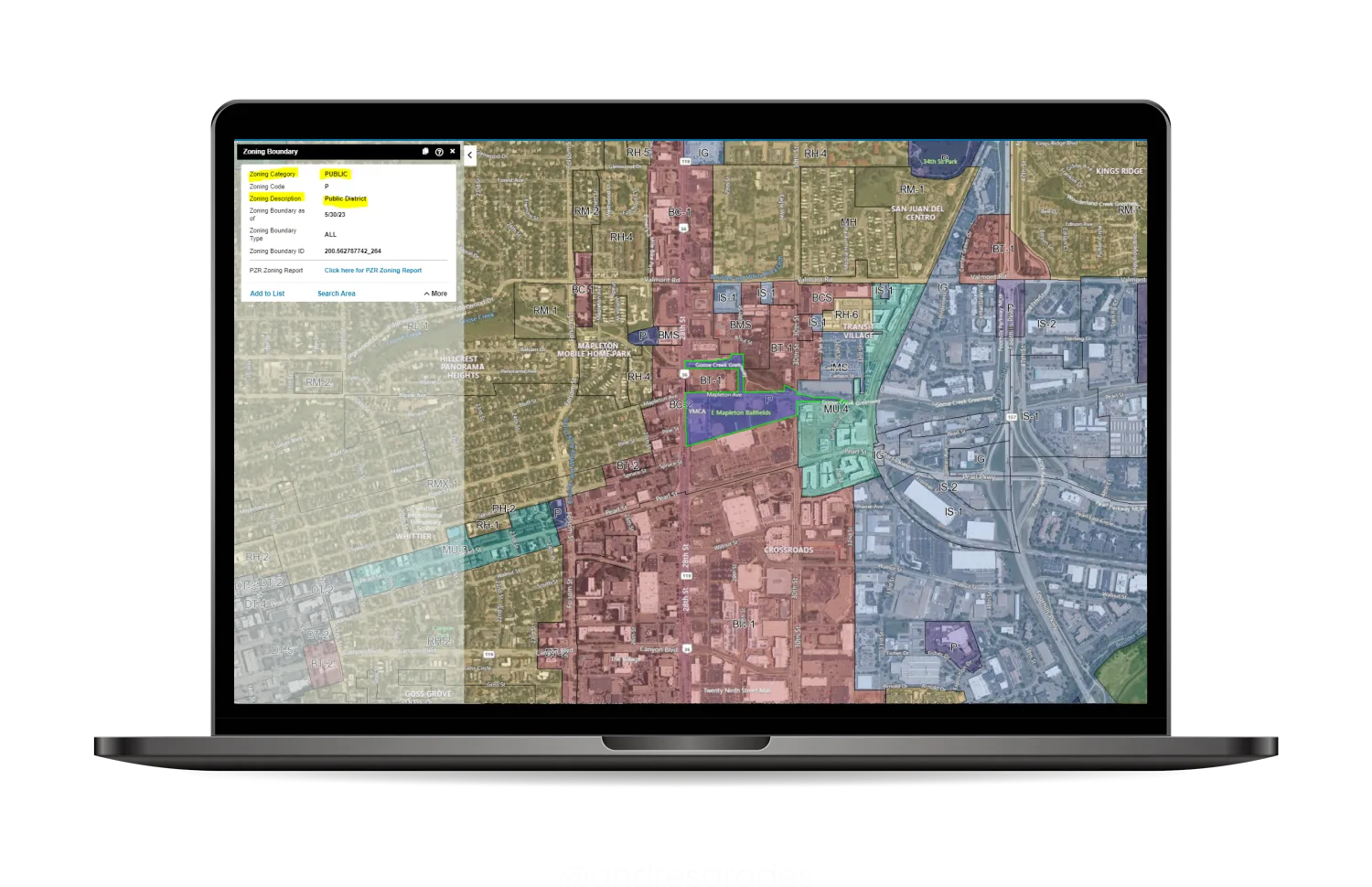
GIS Integration & Bulk Data for Federal Projects
Federal agencies can seamlessly integrate LightBox’s data into GIS systems for real-time mapping and project analysis or request bulk data for comprehensive, large-scale federal initiatives.
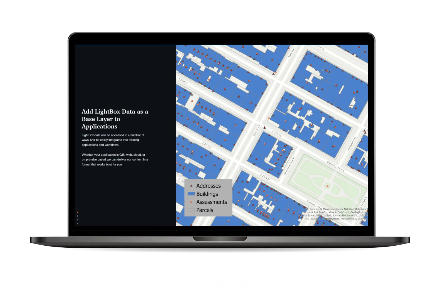
Industry-Leading SaaS Platform
LightBox Vision is an industry-leading SaaS platform that provides comprehensive access to high-quality geospatial data and mapping tools. Trusted by a wide range of professionals, including the U.S. Army Corps of Engineers, LightBox Vision empowers users to make informed decisions through advanced visualization and data analysis capabilities.
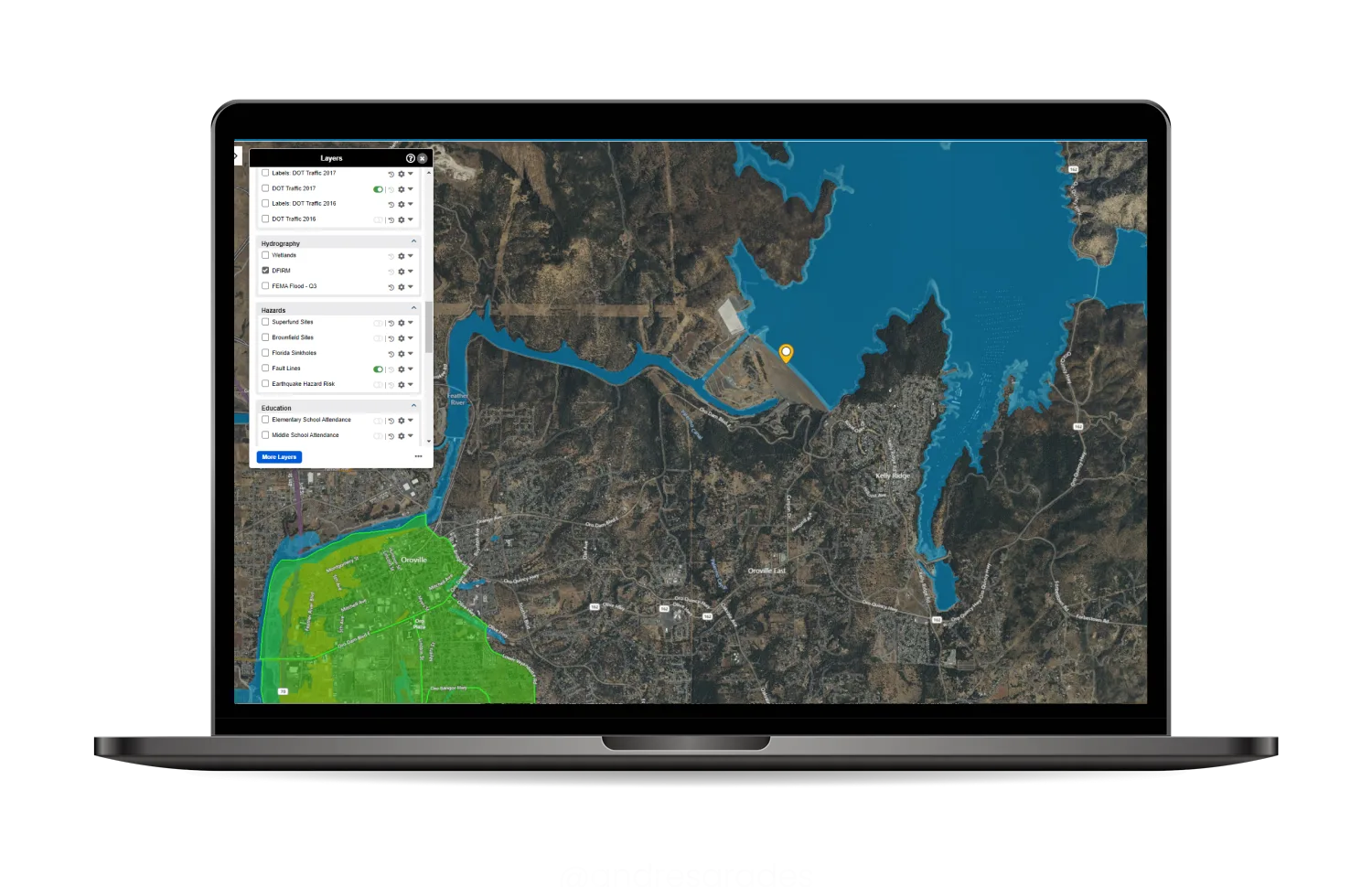
Key Benefits
- Improved Project Outcomes with High-Quality Data: LightBox delivers accurate and comprehensive data to help federal agencies make well-informed decisions for infrastructure and environmental projects.
- Tailored Data Access for Federal Needs: Federal agencies can access data in real-time through GIS platforms or in bulk for large-scale analysis, allowing them to manage projects with greater flexibility and accuracy.
- Streamlined Project Management for Large-Scale Federal Projects: LightBox’s tools simplify complex federal projects, improving workflow efficiency and ensuring projects stay on track, on budget, and compliant with regulations.
Our Customers


Contact Us
Loading form
More in Government
Faster decisions. Fewer surprises.
Clarity you can stand on.LightBox is the Decision Foundation for the Built World.